February 2021-Rainfall Analysis, North Horr Sub-County (Kenya)
March 5th, 2021
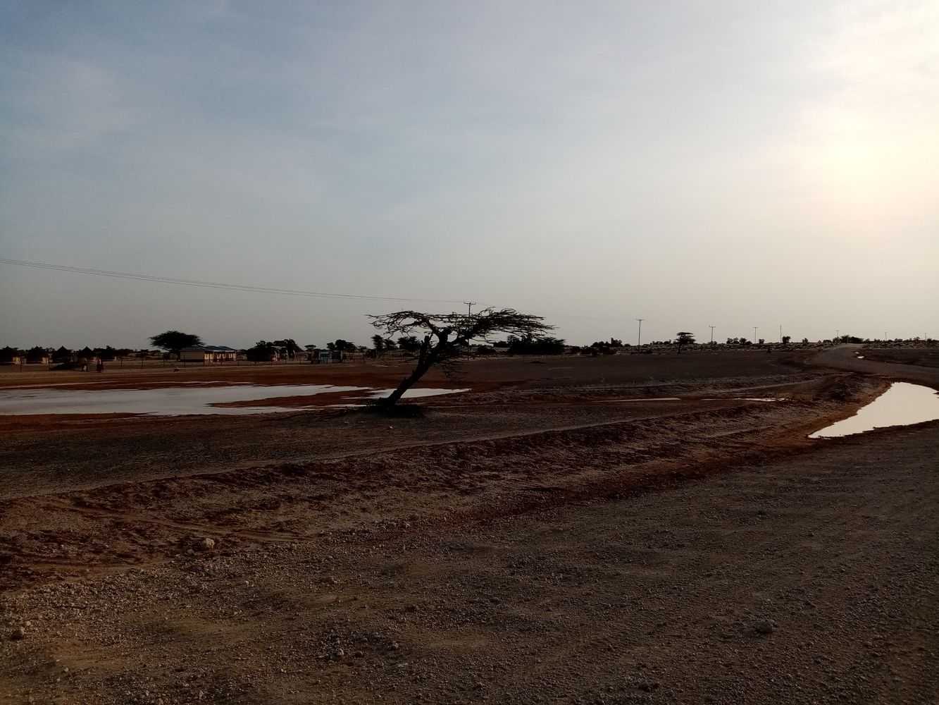
North Horr Sub-County experienced some early rainfall during the week 19-25 February 2021.
The amount of rainfall recorded from community-based manual weather stations located in eight different locations across the Sub-County are shown below.
Monthly rainfall recorded by community-based weather stations – February 2021
Measurement from ground-based weather stations are very accurate but they represent just a very small area around the weather station.
On the other hand, satellite datasets, despite the lower accuracy, are very useful to estimate the rainfall over bigger areas, such as a whole Sub-County.
Two different satellite-rainfall products, CHIRPS Preliminary Dataset and GPM Satellite Early Dataset, are shown in the map below and overlaid to the data collected through community-based weather stations over North Horr Sub-County.
The two datasets are very different with a general trend to overestimate rainfall for GPM and underestimate rainfall for CHIRPS.
The identification of areas receiving amounts of rainfall able to regenerate pasture is crucial to support pastoralists decision making in terms of migration routes.
However, the two sets of information gathered from the GPM and CHIRPS are diametrically opposite in terms of amount and distribution.
The backdrop informs One Health project’s candid engagement with pastoralists, through community-based discussions with various actors i.e. leaders, elders, community health facility representatives, Community Health Volunteers, Community Disease Reporters, women and youth representative to assess which one of the two datasets is more in-line with their observations on ground. Deliberations from the discussions will support both community members to make informed decisions and scientific community in gathering key information for the validation of GPM and CHIRPS datasets.
Comparison of ground-based rainfall measurements with GPM and CHIRPS datasets
This analysis is produced in the framework of the One Health project: Multidisciplinary approach to promote the health and resilience of pastoralist in North Kenya – AID11507. It is a 3-year initiative funded by the Italian Agency for Development Cooperation, aimed at improving the access and coordination of human and animal health services and of early warning and response systems to dangerous events that could put the pastoralist communities' health in North Horr Sub-County at risk. The project is led by CCM-Comitato Collaborazione Medica in partnership with VSF Germany - Veterinarians without Borders Germany, TriM - Translate into Meaning, and DIST - Interuniversity Department of Regional and Urban Studies and Planning.

